Maps Info

Hamlet Map

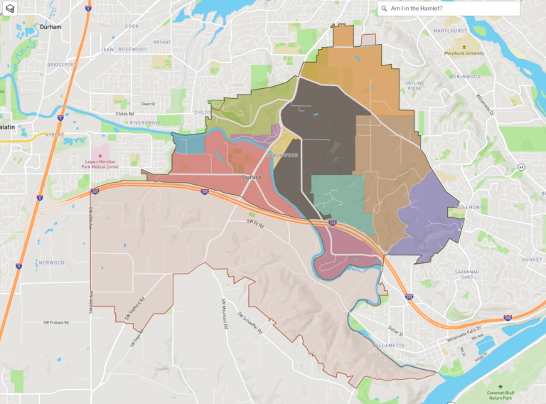
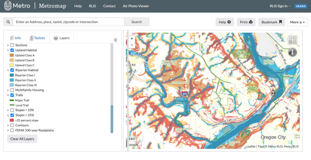
This map shows the Stafford Hamlet limits and has a tool to tell you if you are within the limits.  Toggle layers with the small layer box on the upper left corner.

Hamlet Boundary: Select to see the Stafford Hamlet borders

Neighborhoods: Select layer and hover cursor over each color to reveal neighborhoods within the Hamlet

CPO Limits: The boundary containing the Community Planning Organization  which monitors land use plans in our area

Captain Map (private)

A private, password protected map for Hamlet Residents to connect to their neighbors in the event of an emergency.

Common info to share: Name (or nickname), phone number and/or email

Email Hamlet board members Andy Munson ([email protected]) or Patty Mamula ([email protected]) to be added to the map and receive a private log in.

More info coming soon

Metro Map

A map with many different layers and yearly air photo.

Toggle to see flood plains, contours, riparian habitat, and more.

A great place to start if you intend on building a home on vacant land within the Hamlet.